"The City of London as in Queen Elizabeth's time" - a historical map of London by John Stow John Strype, engraved and hand-coloured as a frontispiece map for Survey of the Cities of London and Westminster, updated and published in 1720 in London by John Strype.
John Stow's Elizabethan classic, "A Survey of London and Westminster", was first published in 1598. A hundred years later, the Tudor capital described in John Stow's survey was dramatically transformed by rapid growth and the devastating Great Fire of 1666. A new, updated and expanded, version of Stow's work was published in 1720 by John Strype.
John Stow (1524 – 1605) was an English historian and antiquarian, best known for his Survey of London (1598; second edition 1603). John Stow was born in about 1525 in the City parish of St Michael, Cornhill, then at the heart of London's metropolis. His father, Thomas Stow, was a tallow chandler. The work for which Stow is best known is his Survey of London, which is of unique value for its detailed account of the buildings, social conditions and customs of London in the time of Queen Elizabeth I.
John Strype (1643 – 1737) was an English clergyman, historian and biographer. His father was a member of a Huguenot family who, in order to escape religious persecution within Brabant, had settled in East London. The works of John Strype are not very original in nature, his work having mainly been to arrange his materials, but as a result they were of considerable value as convenient books of reference.
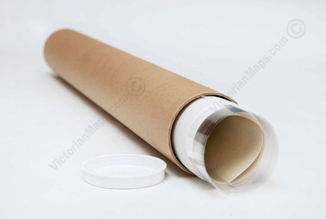
This poster is a high quality "giclée" reproduction of a restored antique original, custom-printed on Standard Single-weight Matt Coated art paper 140gsm or Heavyweight Matt Coated art paper 230gsm (more of a thin card density), or superb Epson Matt Canvas 320gsm, according to your choice. We use the latest UltraChromeHDX pigment inks which guarantee 60 years of colour permanence (up to 200 years fade-proof for colour prints). This poster is suitable for mounting and framing, as well as direct display on a wall.
Please note the XLarge size option print would have white border approximately 2-3mm all around, for a buyer to trim.
This high-resolution, museum-grade fine art print is produced from a unique restored image. Printed on premium archival-quality art paper or canvas, it makes a striking addition to any interior as wall décor or a poster, and a memorable gift for lovers of antique and vintage maps, collectors of historic prints, historians, and explorers. Almost indistinguishable from the original Georgian engraving, it adds character and interest to a study, library, or office wall. It also makes a thoughtful gift for all occasions, including Christmas, Valentine's Day, Easter, and Father's or Mother's Day.