The Illustrated Plan of London and its Environs, in commemoration of The Great Exhibition of Industry of All Nations, 1851. A magnificent, highly decorative map of Victorian London. Engraved by John Rapkin and published by John Tallis in London, in 1851.
"The Illustrated Plan of London and its Environs in commemoration of The Great Exhibition of Industry of All Nations, 1851" is considered as the most attractive map of London published in 19th century. The plan is a detailed large format map of London, engraved by J. Rapkin, and surrounded by vignettes of 49 views of London landmarks, including the Crystal Palace, by other engravers. The map was published by John Tallis to commemorate the Great Exhibition in 1851, for the Illustrated World Atlas.
The Great Exhibition of the Works of Industry of All Nations, or The Great Exhibition, was held from 1st May to 15th October 1851. The exhibition was the first World Fair and was organised by Henry Cole and Prince Albert, the husband of Queen Victoria. The exhibition was housed in Crystal Palace, a temporary structure in Hyde Park in a form of a giant greenhouse, constructed almost entirely from cast iron frames and glass. The Crystal Palace since became a symbol of Victorian age.
John Tallis (1817 - 1876) was an English map publisher. He was born in Midlands and with varying success run a publishing business in London from approximately 1838 to 1863. His work includes the Illustrated World Atlas, published in 1851 for the Great Exhibition, and the Illustrated News of the World and National Portrait Gallery, published later.
John Rapkin (1813 - 1899) was an English engraver. He was a son of a shoe-maker and later established a company John Rapkin & Sons. He engraved maps and town plans for John Tallis' atlas.
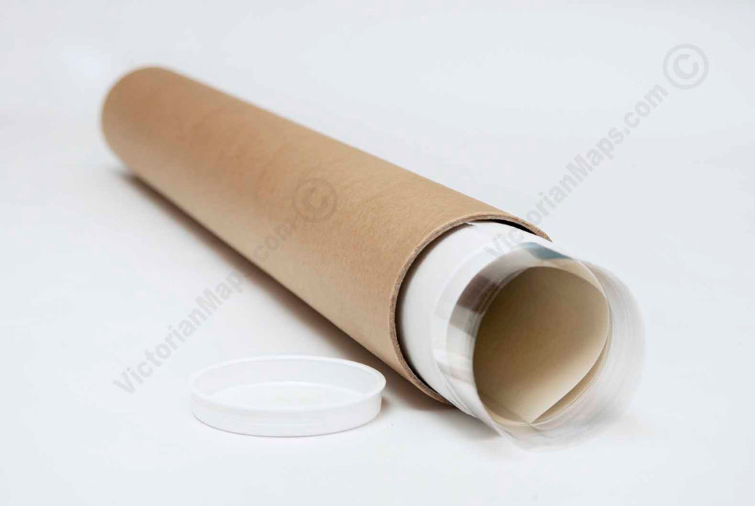
This poster is a high quality "giclée" reproduction of a restored antique original, custom-printed on Standard Single-weight Matt Coated art paper 140gsm or Heavyweight Matt Coated art paper 230gsm (more of a thin card density), or superb Epson Matt Canvas 320gsm, according to your choice. We use the latest UltraChromeHDX pigment inks which guarantee 60 years of colour permanence (up to 200 years fade-proof for colour prints). This poster is suitable for mounting and framing, as well as direct display on a wall.
This high-resolution, museum-grade fine art print is produced from a unique restored image. Printed on premium archival-quality art paper or canvas, it makes a striking addition to any interior as wall décor or a poster, and a memorable gift for lovers of antique and vintage maps, collectors of historic prints, historians, and explorers. Almost indistinguishable from the original Victorian engraving, it adds character and interest to a study, library, or office wall. It also makes a thoughtful gift for all occasions, including Christmas, Valentine's Day, Easter, and Father's or Mother's Day.